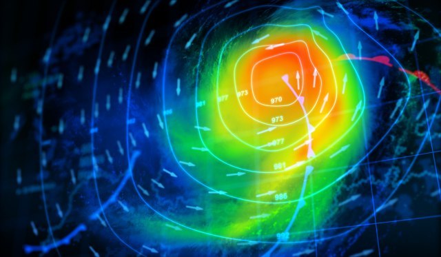
It's getting closer: it's going to get even more extreme; Satellite image VIDEO/PHOTO
In Croatia and Slovenia, the weather alarms were "turned on" again, and citizens were warned of new disasters.
Monday, 24.07.2023.
16:30

It's getting closer: it's going to get even more extreme; Satellite image VIDEO/PHOTO
Just to reiterate that last week in Croatia, a storm claimed four lives and caused enormous damage to buildings, infrastructure and cars. After that, a terrible storm followed in Serbia, and the Republic Hydrometeorological Institute of Serbia issued a new warning today.DHMZ has now issued a yellow warning of possible thunderstorms for four regions - Karlovac, Zagreb, Istria and Kvarner and the Gospić region.
The warning was also issued by the Directorate of Civil Protection.
They write that there is a possibility of thunder and in some places strong and stormy wind and hail after 16:00 in Gorski kotar, Karlovac area along the border with Slovenia, and after 18:00 in Zagorje and Međimurje.
Dunja Plačko-Vršnak from DHMZ announced the detailed forecast for today for HRT. The new week in Slavonia, Baranja and Srem will start with sunny weather and moderate cloudiness during the day. With a moderate south-west and south wind, the temperature will rise from around 19 in the morning to around 35 degrees.
Mostly sunny in central Croatia, in the afternoon with a gradual increase in cloud cover. In the evening and night on Tuesday, with increased development of cloudiness, local showers and thunderstorms, sometimes more pronounced, may occur mainly in the extreme northwest.
Hot again during the day with a temperature of 32 to 34 °C. It will be hot both in the northern Adriatic and in Lika. It will be sunny in the west, cloudy in the afternoon, and with moderate and strong development of cloudiness at the end of the day and at night in the northern Adriatic, especially in Istria, the probability of sporadic showers and thunderstorms, locally possible and more pronounced, increases.
A moderate south-westerly will blow, a moderate and strong southerly on the Adriatic. In the central Adriatic and in the interior of Dalmatia, mostly sunny and hot, in some places very warm.
It will blow moderately from the south, strengthening from the middle of the day, so the sea will be weak to moderately wavy. The most sunny weather will be in the south of Croatia, with a moderate southerly direction. After a warm, partially and very warm night, the highest daily air temperature will be between 33 and 36 degrees.
Slovenians warn: An even more extreme storm than last Wednesday
The Agency of the Republic of Slovenia for the Environment (ARSO) also spoke up, issuing an orange warning for the north of Slovenia in the afternoon due to the possibility of stronger local storms.The warning for the northwest of the country is valid from 19:00, and for the northeast from 18:00. They warn of the possibility of hail, strong winds, lightning and heavy rainfall, reports RTV Slovenia.
Meteorologist Blaž Šter warned yesterday on Twitter that a stronger storm is possible from Monday evening to Wednesday. In the beginning, strong gusts of wind and hail are expected, but from Tuesday afternoon and prolonged showers.
In addition to the unstable atmosphere, even more pronounced wind movement is expected this time, which encourages the development of potentially even more extreme phenomena than last week.
On the Ciklon.si website, they warn of the danger of hurricane-force winds. Strong gusts of wind also threaten northern Italy, where intense and destructive storm cells formed last week and then moved towards Slovenia and Croatia.
The same should happen this time. Arso Weather also issued an orange warning for Tuesday due to the possibility of storms for the whole of Slovenia. They warn about that on Tuesday and Wednesday, due to intense and long-lasting showers, torrential floods may occur in most parts of the country.
The extreme weather conditions are expected to end after Wednesday.


Komentari 0